CNN
—
The Atlantic hurricane season typically reaches its peak this week, but record-warm ocean temperatures are fueling a hyperactive season that experts say shows no signs of slowing.
The average hurricane season starts June 1 and runs through November 30, but its statistical peak is on September 10. So far this year, hurricane activity has been above average in every respect, according to Phil Klotzbach, a research scientist in the Department of Atmospheric Science at Colorado State University.
“It’s been a pretty busy season,” Klotzbach told CNN. “It’s not a slam dunk, but it’s looking like the season is going to be classified as above-normal.”
Some fast facts on 2023 hurricanes so far:
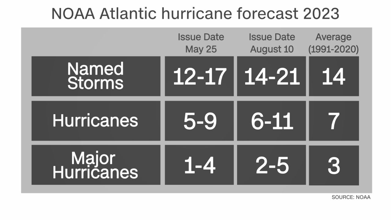
- Fourteen named storms have roamed the Atlantic – the average for an entire season
- Five of those storms have been hurricanes. The average for this time of the year is 3.5 hurricanes.
- There have been three major hurricanes, which is nearly double the average for this time of year. The third major hurricane typically doesn’t form until October 28 in an average season.
- Two named storms have made landfall in the US. Tropical Storm Harold made landfall on August 22 in South Texas. Hurricane Idalia’s August 30 landfall was the strongest in Florida’s Big Bend in more than 125 years.
- Hurricane Lee rapidly intensified at the third-fastest rate on record in the Atlantic and became a Category 5 monster. Only 39 other storms have reached Category 5 strength in the Atlantic.
Before it started, forecasters predicted an average season, but warned of more uncertainty than usual because of a climatic battle between a burgeoning El Niño and warmer-than-normal ocean temperatures. El Niños tend to produce more wind shear – upper-level winds that can rip storms apart – but warm water can fuel their growth.
Then, as the season started, ocean warmth skyrocketed to record levels and forecasters warned of explosive tropical development and a more active season, something that has come to fruition.
“We saw how hot the Atlantic was and said, ‘Alright, we gotta go for it,’” said Klotzbach, whose research group creates seasonal hurricane forecasts.
“Thankfully, we have a strong El Niño,” Klotzbach said, because if there was no El Niño, the season would “probably be tracking 200% of normal instead of 130% of normal.”
But Klotzbach said this El Niño, which by all measures is considered strong, isn’t affecting the western Atlantic like it normally would.
“Because the Atlantic is so warm, you’re not getting as much shear as you would normally get,” Klotzbach told CNN. “The entire basin is hot. If you compare it to 2005 or 2010, other big years the Atlantic had where it was really warm, we’re in a whole different ballgame this year.”
The extreme ocean heat and low wind shear are having some major effects on the season, Klotzbach said. More storms are able to form than would otherwise be possible in a typical El Niño year. Even the storms that have been weakened by moderate shear – like hurricanes Franklin and Lee – were able to stay alive and restrengthen once they found more favorable conditions.
“If we leave a storm out there long enough, eventually it’s going to find somewhere where the shear isn’t that strong” and it can strengthen, Klotzbach said.
More frequent rapid intensification and more major hurricanes are also byproducts of this season’s ripe conditions. Idalia, Franklin and Lee all rapidly intensified in water running well above normal.
“Warm water is not the only thing you need, but it does kind of load the dice toward these high-end rapid intensification events,” Klotzbach said. “You look at the water Lee was tracking over, it should have been at 28 degrees Celsius instead they’re 30 (degrees Celsius) – it’s like rocket fuel.”
The season isn’t over yet – 90% of hurricane season activity happens from mid-August until mid-October – and Klotzbach said the next two weeks still look like they could produce more storms.
Beyond that point, it’s anyone’s guess, Klotzbach said, but an Atlantic tinderbox has already proven full of surprises this season.
“At the end of the day we’ve learned even in a strong El Niño, if you get the Atlantic warm enough it can hold its own,” Klotzbach said.
