CNN
—
Another significant storm system will plow into the West Coast on Friday, bringing heavy rain, mountain snow and strong winds – and the last day of the year will be a wet one in the Northeast and the Southwest.
The system that left thousands without power in Oregon and closed an interstate in Colorado will sweep through the East on Friday and Saturday. Thunderstorms will hit the South on Friday and then reach the Northeast as rain showers Saturday.
That means New Year’s Eve celebrations Saturday will likely be dampened in New York City and Washington, DC. Los Angeles, too, is expected to ring in a soggy new year.
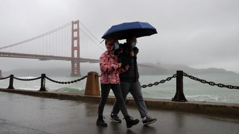
A strong storm will begin bringing widespread heavy rain Friday through Saturday, creating a flood threat for much of Northern and Central California. An active jet stream pattern will continue to bring a parade of storms fueled by an atmospheric river of Pacific moisture.
An atmospheric river is a long, narrow region in the atmosphere that can transport moisture thousands of miles, like a fire hose in the sky. This heavy rainfall will slide southward to Southern California on Saturday and Sunday, accompanied by gusty winds of 30 to 50 mph.

A flood watch for more than 16 million in effect including entire Bay Area and Central Valley though Saturday night. Rain could ease Saturday evening before the calendar turns to 2023.
Southern California is also expecting strong wind gusts of 30 to 50 mph on Sunday in addition to rain.
Rain will also fall in Buffalo, New York, on Saturday, adding to the melting snow and prompting localized flood concerns as the city continues to recover from its deadly blizzard. Additional rain is expected early next week.
Rain chances for New York City will increase through Saturday, with the heaviest rainfall expected between 7 p.m. and 1 a.m. Sunday. Temperatures will be near 50 through most of the afternoon into Sunday.
Most of the middle of the US should stay dry for the holiday weekend.
The eastern two-thirds of the country will be mild, with temperatures 10 to 20 degrees above normal.
Heavy snow will spread through the Mountain West from the Sierra Nevada to the Rockies.
Widespread rainfall accumulations of 2 to 4 inches are expected in northern and central California, but locally higher amounts of 5 to 7 inches are also possible for the foothills.
Northern California and the central California coast have already received 2 to 4 inches of rain in the last week. The cumulative effect of multiple Pacific storm systems laden with moisture from a potent atmospheric river will make impacts such as flash floods and landslides more likely.
“We now expect shallow landslides to be likely with the heavy rain coming New Year’s Eve,” the National Weather Service office in San Francisco said.
There is a slight threat of excessive rainfall (level 2 of 4) along the Northern California coast, according to the Weather Prediction Center, including the Bay Area on Friday. It extends southward along the coast to the Los Angeles area on Saturday. The foothills of the Sierra Nevada are also under a level 2 threat of excessive rainfall Friday and Saturday.
“Moderate to heavy rainfall may result in flooding of rivers, creeks, streams, and flood-prone areas,” the weather service office in Sacramento said.
“The slight risk area mostly highlights places that are already high in soil moisture, burn scars and urban areas,” the Weather Prediction Center said.
Forecasts also call for heavy snow to be spread through the western mountains, from the Sierra Nevada to the Rockies.
An eastbound stretch of Interstate-70 in Colorado reopened Thursday after a nine-hour closure left drivers stranded amid bouts of heavy mountain snow, widespread rain and gusty winds.
Dangerous conditions Tuesday in Oregon left five people dead, including a 4-year-old girl, after severe weather caused trees to fall on passing vehicles, state police said.
Wind gusts in the state exceeded 100 mph in some areas, according to the weather service.