CNN
—
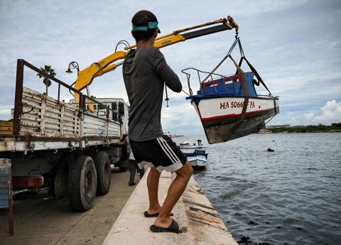
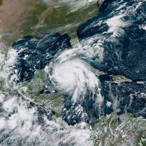
Rapidly intensifying Hurricane Ian became a Category 3 storm as it neared landfall in western Cuba early Tuesday morning while on its trek toward Florida, where residents in some coastal areas are already evacuating.
The hurricane, packing maximum sustained winds of 115 mph, is “expected to make landfall over western Cuba soon,” the National Hurricane Center said around 2:30 a.m.
Life-threatening storm surge, hurricane-force winds and flash flooding are expected in the area.
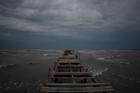
Conditions in western Cuba began deteriorating Monday evening, and the center of the storm was about 35 miles south of the city of Pinar del Rio as of 2:30 a.m., the center said.
Storm surge from the hurricane could raise water levels by as much as 14 feet above normal tide levels along the coast of Cuba, forecasters said.
The hurricane is expected to move north-northwest and across the island, leaving devastating wind damage in its path, according to the center.
Ian quickly strengthened Monday and will likely continue gaining power as it moves over Cuba Tuesday morning, forecasters say.
It is expected to emerge over the southeastern Gulf of Mexico and continue churning toward Florida, passing west of the Florida Keys late Tuesday, and approaching the west coast of Florida late Wednesday into Thursday.
The hurricane is expected to bring life-threatening storm surge along much of Florida’s west coast by mid-week, as well as hurricane-force winds.
While its exact path remains uncertain, projections show the Tampa area could get its first direct hit from a hurricane since 1921, and impacts on the area could be devastating.
“This is something that we haven’t seen in our lifetime … So we definitely need to take it seriously,” said Meteorologist Rick Davis of the National Weather Service’s Tampa office.
A hurricane warning is in place from Englewood to the Anclote River, including Tampa Bay, according to the latest advisory from the hurricane center. This means “hurricane conditions are expected somewhere within the warning area, in this case, within 24 to 36 hours,” the center said.
The hurricane’s menacing approach to Florida triggered preparations across the state as officials announced school closures and flight cancellations, and the military began moving ships and aircraft.
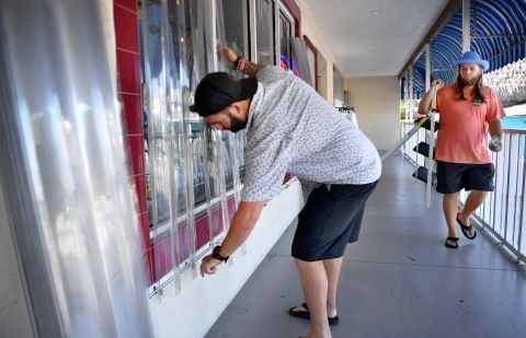
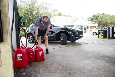
Florida Gov. Ron DeSantis warned of power outages as well as possible evacuations and fuel shortages, telling people to “make preparations now.”
All along Florida’s west coast, officials are urging residents to get out of harm’s way instead of staying to protect their property. “This is nothing to mess around with. If you can leave, just leave now,” Tampa Mayor Jane Castor said Monday.
Mandatory evacuation orders have been issued for parts of Pinellas and Hillsborough counties and emergency shelters were opened.
“When we issued that mandatory evacuation, what that means is if you don’t and you call for help, we’re not coming because we’re not going to put our people in harm’s way and put them in peril because you didn’t listen to what we told you to do,” said Pinellas County Sheriff Bob Gualtieri.
Evacuation orders also went into effect for low-lying areas of Charlotte County as well as the counties of Sarasota, Hernando and Manatee.
Floridians should expect more evacuations Tuesday for counties north of the bay, inland and some south of the bay, said Kevin Guthrie, director of the Florida Division of Emergency Management.
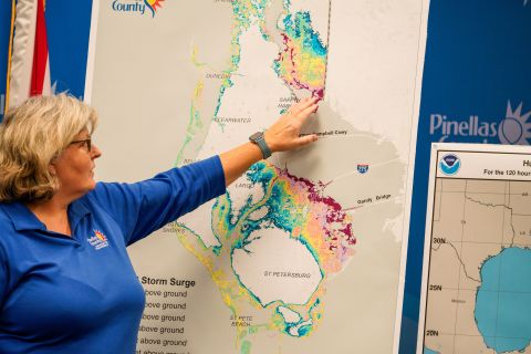
With tropical storm conditions possibly beginning Tuesday night, officials are concerned about Ian’s storm surge – a rise in water level caused by a strong storm’s wind pushing water onshore.
A storm surge warning is effect for the Anclote River southward to Flamingo and Tampa Bay, where the inundation of water could reach 10 feet.
The Tampa Bay region is particularly vulnerable to storm surge and could see catastrophic damage from flooding – even if the area doesn’t get a direct hit from the hurricane.
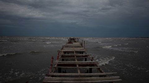
Tampa Electric said it may have to proactively shut down power in the southern tip of downtown early Wednesday in an effort to “avoid serious damage to the underground equipment from saltwater storm surge, which will significantly shorten restoration time after the storm.”
Tampa Bay International Airport will suspend operations at 5 p.m. Tuesday, DeSantis said Monday. The Port of Tampa Bay is also planning to suspend operations at 8 a.m. Tuesday, the governor said.
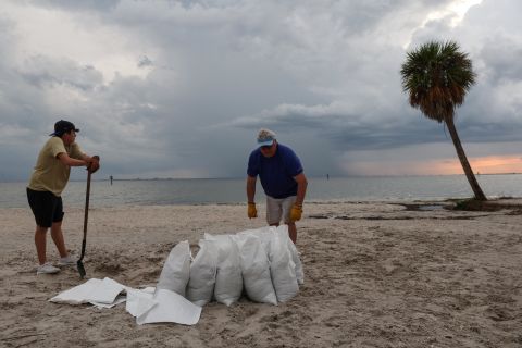
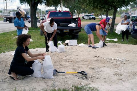
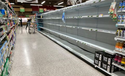
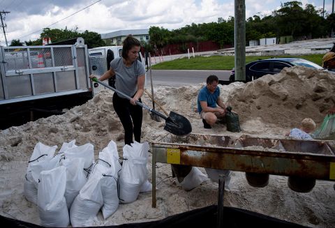
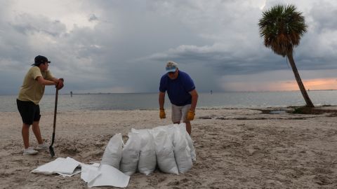
Around the state, residents were queuing in long lines Monday to fill up bags of sand or pick up bottled water in preparation for the storm’s arrival.
Resident Khadijah Jones told CNN she was in line for three hours Monday to get free sandbags in Tampa, uncertain if her home will flood.
“Just doing the basics… securing loose materials in the yard, sandbags in low areas, and getting items to prep for no power,” she said.
As the storm approaches a slew of closures and cancellations have been announced.
The HCA Florida Pasadena Hospital in St. Petersburg announced it has suspended services and transferred patients.
Colleges and universities across the state – like Bethune-Cookman University in Daytona Beach and University of South Florida in Tampa – are taking steps to prepare, including campus evacuations or a shift to online classes.
On the K-12 level, Hillsborough County Schools said it had “no choice” but to cancel classes as campuses become storm shelters. And surrounding counties, including Citrus, Pasco, Manatee and Hernando have also announced closures this week.
Disney World announced some temporary resort closures from Wednesday through Friday due to the weather conditions. At least three cruise lines also began rerouting passengers due to the hurricane.
In an effort to ease congestion on the roadways for those leaving evacuation zones, the Florida Department of Transportation will likely authorize emergency shoulder use, which allows drivers to use shoulders at slower speeds, Guthrie, the state emergency management director, said.
As residents are urged to leave, officials are staging people and equipment to quickly respond when recovery begins.
With widespread power outages likely, Florida Power and Light announced it activated its emergency response plan, mobilizing 13,000 personnel. The company will work to restore power “as long as it’s safe to do so,” the release said, including using smart grid technology to remotely restore power to customers where possible.
Resources from outside the state are also pouring in, Guthrie said.
The Florida National Guard activated 5,000 Florida soldiers and 2,000 additional soldiers from Tennessee, Georgia, and North Carolina, DeSantis announced Monday.
President Joe Biden on Saturday approved a disaster declaration for Ian.
“The President’s action authorizes the Department of Homeland Security, Federal Emergency Management Agency (FEMA), to coordinate all disaster relief efforts which have the purpose of alleviating the hardship and suffering caused by the emergency on the local population,” the White House said in a news release.
US Department of Health and Human Services Secretary Xavier Becerra declared a public health emergency for the state of Florida – a move meant to give health care providers and suppliers greater flexibility in meeting emergency health needs, his office said.
“We will do all we can to assist Florida officials with responding to the health impacts of Hurricane Ian,” Becerra said. “We are working closely with state, local, and tribal health authorities, as well as our federal partners, and stand ready to provide additional public health and medical support.”
